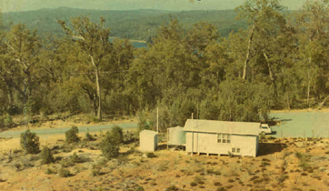


Mundaring
Station Name
| Item | Value |
|---|---|
| Station Name | Mundaring |
| Alternative Name | Watheroo (an earlier, nearby site) |
Station Location
| Item | Value |
|---|---|
| Geographic | Lat. -31.98 Long. 116.22E |
| Geomagnetic | Lat. -44.55 Long. 186.86 |
| Dip | -66.7 |
| Split (0.5*gyro frequency) | 0.8 MHz |
| L Shell | 1.97 |
| Time Noon | 04 UT |
Station Lifetime
| Item | Value |
|---|---|
| Years of Data | 48 years |
| Opened | April 1959 |
| Closed | Closed due to vandalism in December 2007 |
| Status | Closed |
Station Identity
| Item | Value |
|---|---|
| IPS Code | 2961 |
| URSI Code | MU43K |
| ISES/IUWDS Code | 82302 |
| WDC Code | 9043K |
| ESSA Code | 43K |
Station Data Sets
| Item | Value |
|---|---|
| Ionogram | From April 1959 to December 2007, 35, 16 mm film, Digital |